LiDAR and RADAR annotation for autonomous vehicles and robotics
We help startups and businesses prepare quality training data for computer vision, NLP, and voice AI applications. Our team focuses on accuracy and reliability for your machine learning projects.
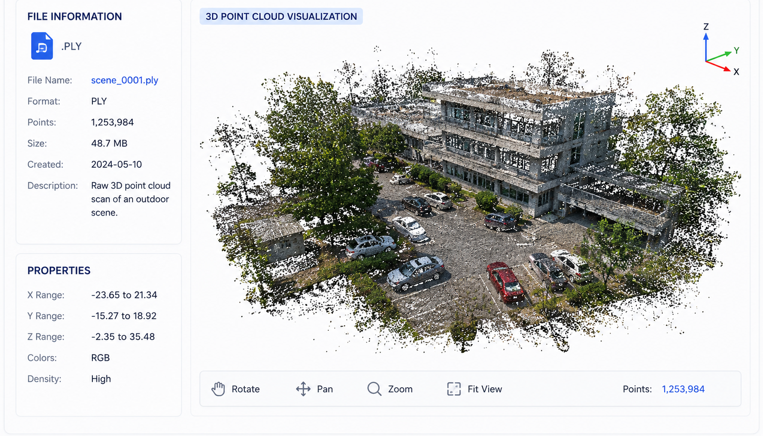
3D Point Cloud Annotation - Original Dataset Preview
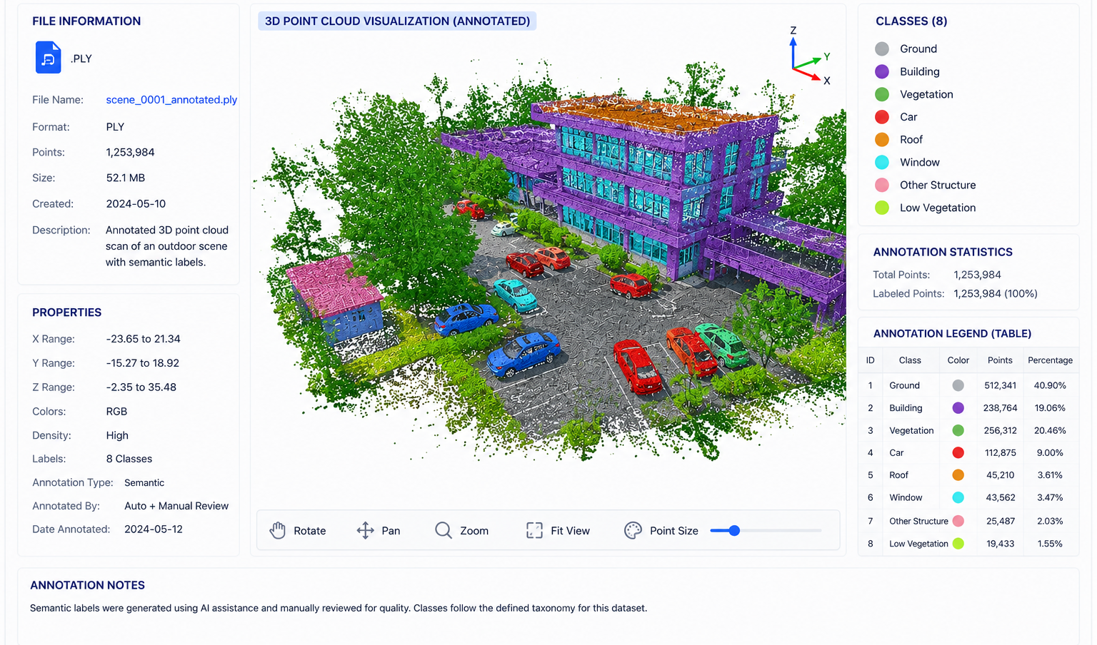
3D point cloud annotation labels spatial data from LiDAR and RADAR sensors to train autonomous systems for navigation and object detection. We help robotics and autonomous vehicle startups with 3D data labeling.
Cuboid labeling for accurate 3D object detection.
Classifying individual points in point cloud data.
Tracking objects across point cloud sequences.
Analyzing complete 3D environments for context.
Identifying drivable surfaces and ground planes.
Combining multiple sensor data for comprehensive labeling.
Upload your images, videos, text, or audio files
Tell us your annotation requirements
Our team delivers quality annotations
Download ready-to-use annotated datasets
LiDAR data labeling
Navigation training
Spatial mapping
Aerial mapping
Computer Vision Annotation Tool
Multi-domain annotation
Dataset management
Advanced 3D point cloud and LiDAR annotation for autonomous systems, robotics, and sensor fusion workflows.
Every dataset is reviewed carefully to maintain consistency and accuracy.
We support both small and large projects with adaptable workflows.
Transparent updates and collaborative project management throughout delivery.
We're a startup too - let's grow together. Get in touch for a free consultation and quote.